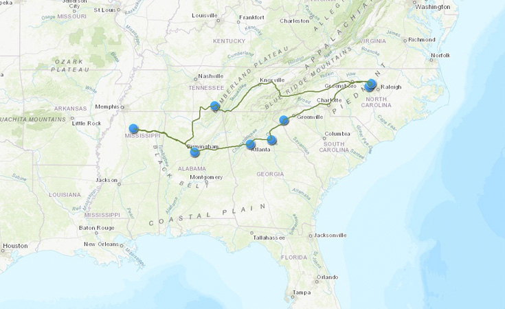
When Peter Cohen chose to go on a road trip for a class project, he decided the best way to document his journey would be with an interactive map. After consulting with a Data Visualization Librarian at the Research Hub, Peter used the ArcGIS Story Maps tool to introduce his audience – high school students considering their options for college – to a diverse array of the South’s most prestigious institutions of higher education. The map allows users to follow the path Peter took on his trip and provides photos and information about each university.
The Educated South


