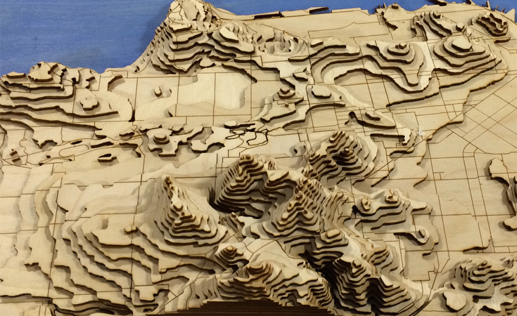
Anna Zhao, a UNC student, wanted a way to visualize the steep hills she biked while living in San Francisco. Anna was inspired by three-dimensional laser cut maps she found online and decided she could create one herself.
A GIS Librarian and student consultant from the Davis Library Research Hub helped Anna locate, prepare, and manipulate spatial data depicting elevation and bike lane locations for San Francisco using GIS software. Anna then manipulated the data further using Adobe Illustrator, and ultimately used it as input for the laser cutter in the Hanes Hall Makerspace to create a beautiful, laser cut topographic map of San Francisco, complete with etched bike lanes. After using wood glue to assemble the layers, Anna was left with a work of art that depicts just how harrowing biking in San Francisco can be!


