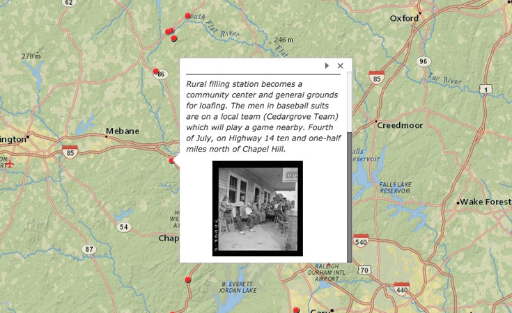
Geography Professor Scott Kirsch was inspired to create a collective Story Map with students in his Historical Geography of the US (GEOG 454) class. Together with a Humanities Research and Digital Instruction Librarian as well as members of the Digital Innovation Lab, a Data Visualization Librarian at the Davis Library Research Hub instructed and assisted the Geography class in using the ArcGIS Story Maps tool.
The Story Map explores several New Deal projects that took place in North Carolina. The interactive web application combines online mapping with detailed written histories as well as photos from both the US Farm Security Administration and UNC’s Wilson Special Collections Library. Students wrote short research papers as part of the assignment and some produced individually created story maps that are linked from the composite map.
The finished project serves as a fun and information-rich resource for those interested in North Carolina’s history and culture during the 1930s.


