Find Geospatial Data
GIS Help and Resources
![]()
 GIS Assistance
Get help from a GIS expert.
![]()
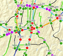 Spatial Data
Find web sources for spatial data.
![]()
 GIS Software
Get started with GIS software through tutorials, training and FAQs.
![]()
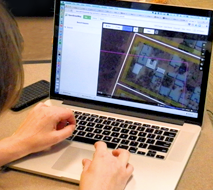
 Create a Shapefile
Use these step-by-step instructions to create a shapefile.
![]()
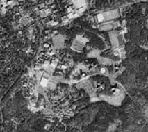 Aerial Photos
Find historic aerial photos for several North Carolina counties.
![]()
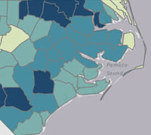
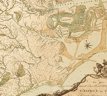 Historical Maps
Access georeferenced historical maps that can be used in GIS software.
Get Professional Experience
Are you interested in becoming a GIS tutor or research assistant? Fill out this form.

